Santiago Plan
Olive groves along the Camino Mozárabe
© José Manuel Guerrero · Fotografía propia · © Todos los derechos reservados

Desde Andalucía a la Plata

Camino Mozárabe

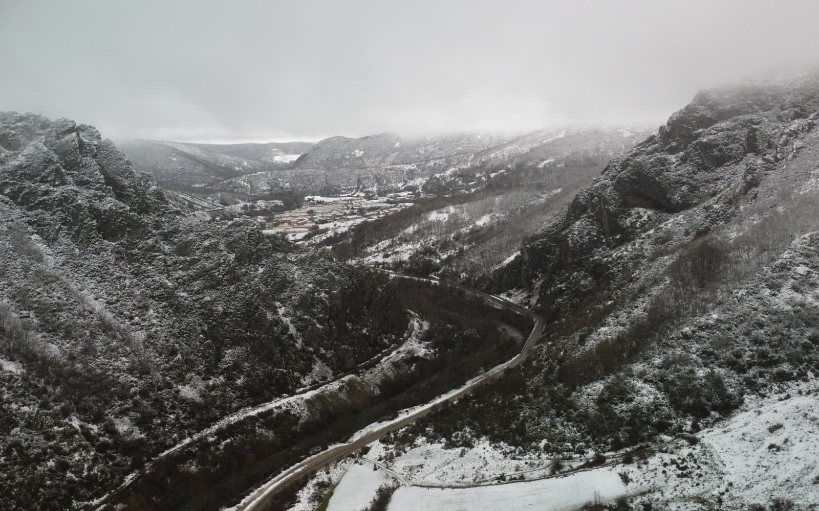
Monumental Andalusia on the way to Mérida: the Alhambra, the Great Mosque of Córdoba and rugged sierras — a long, demanding road under the southern sun.

Distance
≈ 611 (Almería–Mérida) km
Days
27
Difficulty
Hard
Terrain
Andalusian sierras, olive groves and dehesa

Elevation profile

Ascent

+4197 m

Descent

4666 m

-3654411240 km98 km196 km293 km391 km

The Camino Mozárabe gathers the branches climbing up from Almería, Málaga, Granada or Jaén to Mérida, where it joins the Vía de la Plata. It commemorates the pilgrimage of the Mozarabic Christians who lived under Islamic rule.

It crosses monumental Andalusia (the Alhambra, the Great Mosque of Córdoba) with long stretches and extreme heat. The exact historical route is not fully documented; today's waymarking favours safety and scenery.

Who it's for

For seasoned pilgrims seeking Al-Andalus heritage and a serious challenge.

The itinerary

Stages of the route

Classic division into stages. Distances are approximate and for guidance; each pilgrim adjusts their days to their own pace.

  1. 0118 km

    Cumulative: 18 km

    201165 m4 h 37 min

    Granada

    Granada → Pinos Puente

    You leave the Alhambra behind and step into the fertile, flat plain of Granada's fertile lowlands.

    View stage
  2. 0214 km

    Cumulative: 32 km

    328307 m3 h 53 min

    Granada

    Pinos Puente → Moclín

    A short stage to Moclín, whose fortress crowns the village, known as the 'navel of Andalusia'.

    View stage
  3. 0319 km

    Cumulative: 51 km

    456294 m5 h 17 min

    Granada · Jaén

    Moclín → Alcalá la Real

    You cross into Jaén among olive groves, drawing closer to the imposing fortress of La Mota.

    View stage
  4. 0424 km

    Cumulative: 75 km

    263572 m6 h 9 min

    Jaén

    Alcalá la Real → Alcaudete

    A sea of Jaén olive trees stretches to Alcaudete, with its Templar castle.

    View stage
  5. 0525 km

    Cumulative: 100 km

    261457 m6 h 23 min

    Jaén · Córdoba

    Alcaudete → Baena

    You cross the Guadajoz, the natural border between Jaén and Córdoba, always amid olive trees.

    View stage
  6. 0620 km

    Cumulative: 120 km

    100291 m4 h 56 min

    Córdoba

    Baena → Castro del Río

    Baena, capital of olive oil, sees you off into the rolling countryside of Córdoba.

    View stage
  7. 0719 km

    Cumulative: 139 km

    290247 m5 h

    Córdoba

    Castro del Río → Santa Cruz

    A peaceful stage across the countryside, among farmsteads and gentle hills of grain.

    View stage
  8. 0820 km

    Cumulative: 159 km

    198339 m5 h 6 min

    Córdoba

    Santa Cruz → Córdoba

    Arrival in Córdoba, with the Mosque-Cathedral awaiting at the end of the day's walk.

    View stage
  9. 0917 km

    Cumulative: 176 km

    47884 m4 h 51 min

    Córdoba

    Córdoba → Cerro Muriano

    You leave the city towards Sierra Morena, trading the plains for the hills.

    View stage
  10. 1021 km

    Cumulative: 197 km

    273199 m5 h 27 min

    Córdoba

    Cerro Muriano → Villaharta

    A mountain landscape of holm oaks and rockrose, quite unlike the Córdoba lowlands.

    View stage
  11. 1135 km

    Cumulative: 232 km

    482460 m9 h 8 min

    Córdoba

    Villaharta → Alcaracejos

    A long day across Los Pedroches, a livestock region of vast wooded pastures.

    View stage
  12. 1222 km

    Cumulative: 254 km

    104168 m5 h 25 min

    Córdoba

    Alcaracejos → Hinojosa del Duque

    A quiet stage among the dehesas, land of cheese and cattle in Los Pedroches.

    View stage
  13. 1333 km

    Cumulative: 287 km

    234225 m8 h 15 min

    Córdoba · Badajoz

    Hinojosa del Duque → Monterrubio de la Serena

    You cross into Extremadura through holm-oak woods, with La Serena waiting ahead.

    View stage
  14. 1420 km

    Cumulative: 307 km

    143213 m5 h

    Badajoz

    Monterrubio de la Serena → Castuera

    The landscape of La Serena, a broad region of dehesas and manganese mines.

    View stage
  15. 1516 km

    Cumulative: 323 km

    100170 m3 h 59 min

    Badajoz

    Castuera → Campanario

    A gentle stage among fields of grain and the dehesas of Extremadura.

    View stage
  16. 1623 km

    Cumulative: 346 km

    59184 m5 h 34 min

    Badajoz

    Campanario → Don Benito

    You approach the Vegas Altas del Guadiana, made highly fertile by irrigation.

    View stage
  17. 1723 km

    Cumulative: 369 km

    47111 m5 h 33 min

    Badajoz

    Don Benito → Torrefresneda

    A flat stage across the Guadiana plains, already on the way to old Emerita.

    View stage
  18. 1824 km

    Cumulative: 393 km

    180180 m6 h 1 min

    Badajoz

    Torrefresneda → Mérida

    The final stage: you reach Mérida and its Roman legacy, where you join the Vía de la Plata.

    View stage

Plan your daily stages

Choose which stage you start from, how many days you have and at what pace; we split the stages into days balanced by effort (distance and elevation). You can save, share or print your plan.

Pace

18 days · ≈ 393 km in total

One or more days exceed 32 effort units (kilometres plus climb: 100 m of ascent count as 1 km). Doable if you are fit, but consider adding a day.

  1. Day 1Stage 1
    GranadaPinos PuenteView stage 1
    ≈ 18 km+201 m
  2. Day 2Stage 2
    Pinos PuenteMoclínView stage 2
    ≈ 14 km+328 m
  3. Day 3Stage 3
    MoclínAlcalá la RealView stage 3
    ≈ 19 km+456 m
  4. Day 4Stage 4
    Alcalá la RealAlcaudeteView stage 4
    ≈ 24 km+263 m
  5. Day 5Stage 5
    AlcaudeteBaenaView stage 5
    ≈ 25 km+261 m
  6. Day 6Stage 6
    BaenaCastro del RíoView stage 6
    ≈ 20 km+100 m
  7. Day 7Stage 7
    Castro del RíoSanta CruzView stage 7
    ≈ 19 km+290 m
  8. Day 8Stage 8
    Santa CruzCórdobaView stage 8
    ≈ 20 km+198 m
  9. Day 9Stage 9
    CórdobaCerro MurianoView stage 9
    ≈ 17 km+478 m
  10. Day 10Stage 10
    Cerro MurianoVillahartaView stage 10
    ≈ 21 km+273 m
  11. Day 11Stage 11
    VillahartaAlcaracejosView stage 11
    ≈ 35 km+482 mDemanding day
  12. Day 12Stage 12
    AlcaracejosHinojosa del DuqueView stage 12
    ≈ 22 km+104 m
  13. Day 13Stage 13
    Hinojosa del DuqueMonterrubio de la SerenaView stage 13
    ≈ 33 km+234 mDemanding day
  14. Day 14Stage 14
    Monterrubio de la SerenaCastueraView stage 14
    ≈ 20 km+143 m
  15. Day 15Stage 15
    CastueraCampanarioView stage 15
    ≈ 16 km+100 m
  16. Day 16Stage 16
    CampanarioDon BenitoView stage 16
    ≈ 23 km+59 m
  17. Day 17Stage 17
    Don BenitoTorrefresnedaView stage 17
    ≈ 23 km+47 m
  18. Day 18Stage 18
    TorrefresnedaMéridaView stage 18
    ≈ 24 km+180 m

An indicative split by effort (distance + elevation). It does not guarantee accommodation at each stop: check each stage and its hostels before finalising your plan.

Add stamps to your digital credential

Save this route to your account, mark each stage you complete and earn your virtual Compostela when you reach Santiago. Free.

The stamps and the digital credential are a keepsake from Santiago Plan, with no official validity: they are not the pilgrim credential and do not replace the physical stamps collected at hostels and churches to obtain the Compostela at the Cathedral.

🛡 Travel insurance for the Camino

Insurance with medical assistance, baggage cover and cancellation protects you against the unexpected: an injury, a mishap or a stage you can't walk. IATI specialises in travel and offers cover valid for the Camino de Santiago.

See IATI insurance

Affiliate link: taking it out through it costs you no more and helps keep this guide independent.

The route

The route

Approximate track of the route with the towns it passes through.

Layers

Use two fingers to move the map; Ctrl + scroll to zoom.

Download and offline navigation

Download the GPX track and open it in your hiking app (OsmAnd, Wikiloc, Locus…) to navigate without coverage.

Download GPX

Where to sleep

Accommodation and services, stage by stage

A selection of pilgrim hostels (albergues) along the Camino, ordered from the start towards Santiago. The municipal and parish ones are usually the cheapest and many cannot be booked (you arrive and check in in order). Confirm beds, price and opening times before relying on them.

10. Villaharta

Cerro Muriano → Villaharta

Hotels and guesthouses
12. Hinojosa del Duque

Alcaracejos → Hinojosa del Duque

Hotels and guesthouses
14. Castuera

Monterrubio de la Serena → Castuera

Hotels and guesthouses
18. Mérida

Torrefresneda → Mérida

Hotels and guesthouses

Hostel data © OpenStreetMap contributors (ODbL). It does not include beds or price, which are not always in the source; check with the hostel. Is one missing or wrong? Write to us.

Accommodation

Hotels and guesthouses

On the Camino, pilgrim hostels (municipal, parish and private) are the cheapest option, and many cannot be booked: you arrive and check in in order of arrival. The links below search for hotels and guesthouses, for those who prefer to secure a bed in advance.

Affiliate links to Booking.com: booking through them costs you no more and helps keep this independent guide running.

When you reach Santiago

Experiences and guided tours in Santiago

When you finish your Camino, make the most of Santiago: a guided tour of the cathedral and the botafumeiro, a trip to Finisterre and Muxía (the end of the world), or the corners of the old town.

See experiences in Santiago

Affiliate link to GetYourGuide: booking through it costs you no more and helps keep this guide running.

🧭 How to get there

Find out how to travel from your city to Granada by train, bus, car or plane.

Open in Google MapsLinks to external planners; schedules and prices on their website.

Frequently asked questions

How many kilometres is the Camino Mozárabe?
The Camino Mozárabe is about 611 km and usually takes around 27 days on foot.
Is the Camino Mozárabe hard?
Its difficulty is hard. On Santiago Plan you have every stage with a map, elevation profile and hostels, so you can prepare it calmly.
How much does it cost to walk the Camino Mozárabe?
Staying in hostels, budget roughly between 680 and 1220 € in total (around 27 days), including bed, food and the odd extra. It varies with the season and your travel style.
Do you need to book the hostels?
In low season it's usually not necessary, but in summer and during a Holy Year it's wise to plan ahead and, in many cases, book your accommodation. We can't guarantee bed availability.

Xacobeo 2027

Planning the Camino Mozárabe?

Leave your email and we will send you news, tips and deals to prepare this route in good time. No spam.

Other routes

See all